North Carolina Map Shows How State Could Go Underwater From Sea Level Rise
Posted on AllSides May 4th, 2024
From The Center
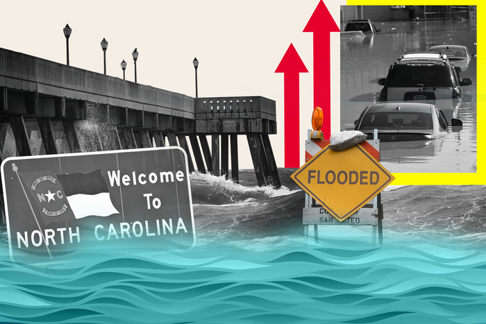
An interactive map shows how parts of North Carolina could be submerged in water as sea levels rise due to the effects of climate change. The state faces particular risks because of its barrier islands, known as the Outer Banks, its extensive coastline and its low elevation. The map by the National Oceanic and Atmospheric Administration allows users to see how different parts of the United States would be affected if sea levels rose by various amounts. The map also allows users to click on certain streets and landmarks and...
Some content from this outlet may be limited or behind a paywall.
AllSides Media Bias Rating: Center